A "super" El Niño is shaping up to bring warmer temperatures and potentially heavy rainfall to the Portland metro area this winter, according to a forecast from KGW meteorologist Rod Hill.
For residents of Bethany, Cedar Mill and surrounding communities on the west side of the Portland hills, the outlook means a likely dry November followed by a stretch of heavy rain in December and January that could raise flood concerns.
What makes this El Niño 'super'
Ocean water temperatures off the coast of South America currently measure 3 degrees Celsius above the seasonal average, Hill reported. Weather models show the running average temperature will be 2.5 degrees Celsius above normal for the rest of the year.
A normal El Niño registers 1 to 1.4 degrees Celsius above normal. A strong event runs 1.5 to 1.9 degrees above. Anything above a 2-degree increase qualifies as "super," according to Hill's forecast. Five such events have occurred since record-keeping began in 1950.
The ocean is expected to cool in the coming months. By January, the El Niño could weaken to moderate strength for the second half of the rainy season.
What it means for Portland-area neighborhoods
Hill's forecast calls for above-normal temperatures during all five months of the rainy season, with high confidence that each month will average 2 to 3 degrees Fahrenheit above normal. Confidence in the precipitation forecast is lower.
Historical data favors a somewhat dry November, then a very wet December and January. Hill said February and March are difficult to predict.
Atmospheric rivers will most likely target California, according to the forecast. But one or two streams of steady, heavy rainfall could shift north into Oregon, delivering 8 to 12 inches of precipitation during a single month and increasing the potential for flooding.
Portland snow totals could range from nothing to a single storm dropping 6 to 8 inches. El Niño seasons tend to favor sleet or freezing rain over snow in Portland, with little significant frozen precipitation after Jan. 1, Hill wrote.
Strong south winds in the valley also tend to be more common during an El Niño. Hill's outlook calls for three or four wind warnings this season.
Broader picture
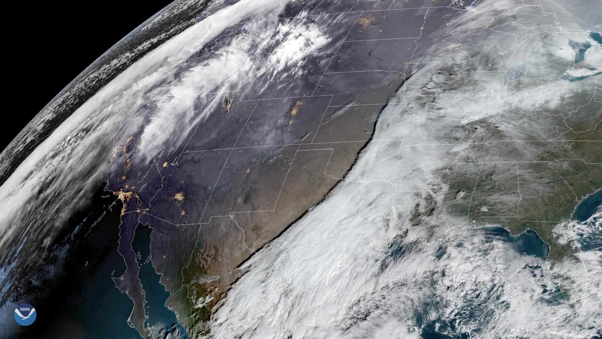
NOAA's U.S. Winter Outlook, released Oct. 15, projects warmer-than-average temperatures for the Pacific Northwest from December through February. Ken Graham, director of NOAA's National Weather Service, said in the outlook that communities should plan ahead.
Oregon's state climatologist, Larry O'Neill, told OPB in September that the event is "really shaping up right now to be off the charts." O'Neill said heavy winter rains could increase landslide risks, particularly west of the Cascades.
Local storm history
Cedar Mill and Bethany residents know what winter storms can do. In January 2024, back-to-back events brought high winds and snow followed by freezing rain. Several homes north of Laidlaw Road in the Bethany area suffered severe damage from falling trees, according to Cedar Mill News. Laidlaw Road closed and did not fully reopen until early February 2024. Washington County declared a weather emergency on Jan. 16, 2024.
KPTV Chief Meteorologist Mark Nelsen explained at the time that eastern wind from the Columbia River Gorge goes up and over the West Hills, then comes down the west slopes into communities like Cedar Mill and Bethany.
Hill's Mount Hood snowpack outlook calls for at least 70% of normal, an improvement over last season's 30% of normal. Heavy mountain snow episodes are expected from mid-December through January.